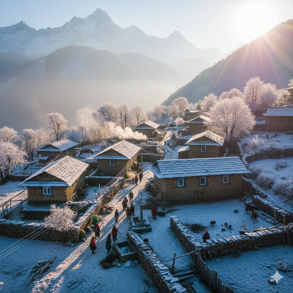
 The village community hall was a sight to behold. On one side, the village elders sat on mats, sipping tea and pointing at old, weathered paper maps.
On the other, the village youth—led by the tech-savvy Golu—were hunched over glowing laptops, the air humming with the whir of a small drone cooling its engines.
Santa was staring at a computer screen, squinting so hard his turban was tilting.
“Banta, I think this computer is broken.”
“It shows our village as a bunch of colourful Lego blocks.”
“Where is my house?”
“Where is the halwai shop?”
Banta leaned in, adjusting his glasses.
“It’s not a toy, Santa.”
“This is GIS—Geographic Information System.”
“It’s like an onion.”
“Every layer tells a different story.”
“Golu, show him the ‘Resilience Layer’.”
Golu tapped a key. The “Lego blocks” transformed.
A bright blue line traced the old stone path they had cleared during the landslide. Green dots appeared along the line.
“Those green dots,” Golu explained, “are the traditional Dharas and Naulas the elders told us about.”
“By mapping them, we know exactly where the ‘Plan B’ water sources are if the main piped supply breaks again.”
“And look at this,” Banta added, pointing to a flickering red zone.
“The drone footage merged with the elders’ stories about ‘The Weeping Slope’ showed us exactly why the new road keeps sliding.”
“There’s an ancient, buried drainage channel there.”
“The road builders ignored it, but the GIS doesn’t!”
Santa was starting to get the itch.
“So, you’re telling me we are making a ‘Resilient Heritage Map’?”
“Combining my grandfather’s stories with your ‘Space-Age‘ pixels?”
“Exactly, Santa-ji,” Golu smiled.
“We’re creating a digital twin of our village’s soul.”
“If a disaster hits, this map tells the rescue teams which paths are safe, which slopes are ‘angry,’ and where the community can find shelter.”
Santa couldn’t resist. He grabbed a GPS handset.
“Right!”
“If we’re mapping, we’re doing it properly!”
“I’m going to map the ‘Samosa Supply Route’—the shortest path from the shrine to the best snack stall in the district.”
“It’s a vital socio-ecological service!”
The room erupted in laughter.
For the next three days, the village became a living laboratory. The elders walked the old paths, describing where the ground felt “hollow” or where the “wind spoke of rain,” while the youth followed behind, “dropping pins” on digital maps and capturing 3D scans of the ancient stone paving.
They even integrated a “Real-Time Layer.”
Now, if a sensor on the mountain detected a tilt, an alert would flash on every smartphone in the village, telling people to move to the specific “safe zones” identified by the elders’ wisdom and verified by the GIS elevation models.
By the end of the week, the “Resilient Heritage Map” was printed and framed in the village square. It showed the new road and the old path, not as rivals, but as a team.
Santa patted the frame proudly.
“You know, Banta, I used to think the old path was just for sore feet, and the new road was just for fast jeeps.”
“But now I see… one is our speed, and the other is our shield.”
“And thanks to these kids and their ‘Digital Dhara,’ we finally have a map that shows us the way home—no matter how hard it rains.”
संता – बंता की इस जुगलबन्दी से आज हमने क्या सीखा:-
-
सहभागी भौगोलिक सूचना प्रणाली की शक्ति / The Power of Participatory GIS (PGIS): परम्परागत ज्ञान व आधुनिक तकनीक के समागम से सटीक व क्रियान्वन योग्य जोखिम मानचित्र तैयार किया जा सकता है और केवल किसी एक के आधार पर ऐसा कर पाना सम्भव नहीं है / Integrating traditional knowledge (the “what” and “where” from elders) with modern technology (the “how” and “precision” from GIS) creates a far more accurate and actionable hazard map than either could achieve alone.
-
छुपे हुवे संकटो की पहचान / Identifying Hidden Hazards: अभियंताओं द्वारा चिन्हित न किये जाने के बावजूद बुजुर्गो को भू – आकृतीय संरचनाये व पूर्व में घटित आपदाये याद रहती है / Elders often remember “forgotten” disasters or landscape features (like buried channels) that modern engineers might miss. Mapping these ensures that new infrastructure doesn’t inadvertently create new risks.
-
बहु – पीढ़ी प्रातिरोध्यता / Multi-Generational Resilience: पीढ़ियों के मध्य के अन्तर को पाट देने पर आपदा जोखिम न्यूनीकरण सर्वाधिक प्रभावशाली बन जाता है। एक और जहां युवा तकनीकी क्षमता लाता है तो बुजुर्ग पुरानी यादें और इसके आधार पर तैयार की गयी वैकल्पिक योजना सुद्रढ़ व सांस्कृतिक रूप सी प्रासंगिक होती है / Disaster risk reduction is most effective when it bridges the generation gap. Youth provide the technical capacity, while elders provide the historical context, ensuring the community’s “Plan B” is robust and culturally relevant.
-
सुरक्षित रहने के ज्ञान का डिजिटलीकरण / Digital Preservation of Safety Wisdom: प्रतिरोध्य विरासत का मानचित्रीकरण सुनिश्चित करता है कि परम्परागत ज्ञान बुजुर्गो के चले जाने के बाद भी जीवित रहे। यह इस अमूल्य धरोहर को समाज की स्वाभाविक यादाश्त का अटूट हिस्सा बना देता है / Creating a “Resilient Heritage Map” ensures that life-saving traditional knowledge is not lost when elders pass away. It digitizes the “muscle memory” of the community.
-
परतदार पूर्व चेतावनी तंत्र / Layered Early Warning Systems: भौगोलिक सूचना प्रणाली पर्यावरण में सुरक्षित स्थानों व निकासी मार्गो का मानचित्रीकरण करने से सामुदाय आधारित पूर्व चेतावनी तंत्र अधिक सटीक बनता है और इससे समुदाय को ऐतिहासिक व भू – वैज्ञानिक रूप से सुरक्षित क्षेत्रों का ज्ञान होता है / By mapping safe zones and evacuation routes in a GIS format, community-led early warning systems become much more precise, directing people to the exact locations that have historically and geologically proven to be safe.
संता – बंता की यह जुगलबन्दी आपको कैसी लगी, कृपया हमें जरुर बताये
व
इस जुगलबन्दी को बेहतर बनाने के लिये अपने सुझाव अवश्य दें।
हमें हमेशा की तरह आपके सुझावों, प्रतिक्रियाओं व कटाक्षो का बेसब्री से इंतजार रहता हैं और सच मानिये इसी के आधार पर हम अपने आप में, अपनी सोच व रचनात्मकता में सुधार करने को प्रेरित होते हैं।
सो अच्छा – बुरा जैसा आपको महसूस हुवा हो, कमेंट जरुर करते रहें।
#DigitalHeritage #GISforGood #HimalayanResilience #CommunityMapping #TraditionMeetsTech#DisasterSafety #SmartVillages #SantaBanta #MapMyResilience #HimalayanStories
[…] I have a grand plan to modernise our sacred Dhara!” Santa announces at a village […]