 In late 2025, India took a historic step in disaster preparedness by reclassifying the entire Himalayan arc into the newly created Seismic Zone VI.
This wasn’t merely a change in administrative boundaries; it was a scientific admission that our mountains are facing a “Triple Helix of Risk”: tectonic stress, climate-induced instability, and the largely ignored phenomenon of Seismic-Frost interaction.
As we witness the “White Inferno” of fog on the plains and the “Silent Sinking” of towns like Joshimath, we must confront the reality that winter is no longer a season of geological rest.
It is a season of intensified risk.
The Science: Why Frost and Quakes are a Lethal Mix
Traditionally, we have mapped earthquakes as deep tectonic events and frost-heave as a shallow, seasonal nuisance.
However, in the high-altitude terrain of Uttarakhand and Himachal, these two forces interact in a process known as Frost-Seismic Amplification.
When groundwater freezes within the soil, it expands by approximately 9%, creating “ice-wedges.”
In an urbanized slope, this expansion exerts a massive “heave” against building foundations.
When a seismic wave hits this rigid, ice-saturated ground, the energy isn’t dissipated; it is amplified.
The frozen layer acts like a megaphone for tectonic shocks, leading to significantly higher Peak Ground Acceleration (PGA) than during summer months.
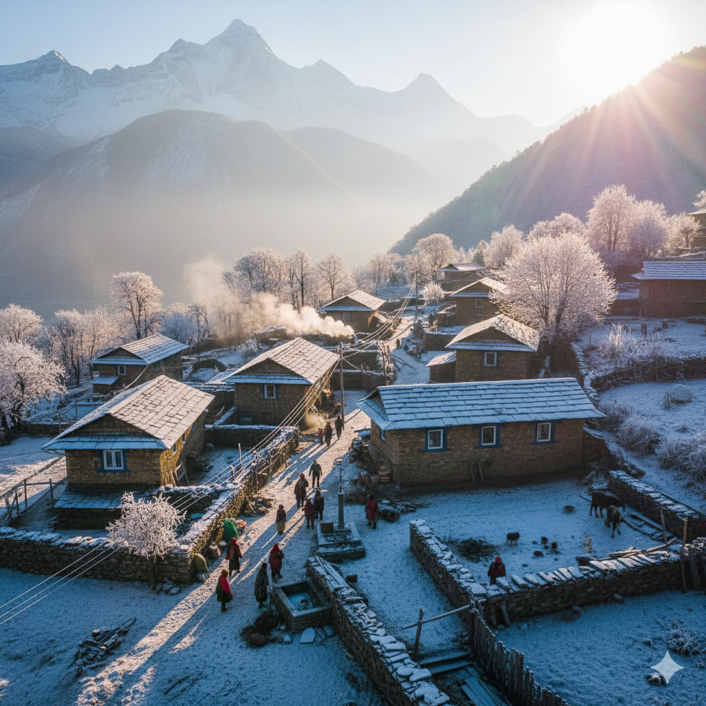
The Background: Lessons from the 2025 Winter Crisis
The urgency for Seismic-Frost Mapping peaked this December as Joshimath and Chamoli faced a fresh wave of instability. Residents reported a number of wide-mouth cracks in just seven days as temperatures plummeted to -6°C.
These weren’t caused by a major earthquake, but by “micro-seismicity” acting on frost-weakened strata.
Decades of unplanned construction and the puncturing of aquifers during tunnel-boring have saturated the sub-surface.
This trapped water, when it freezes, becomes a “geological wedge,” widening the fissures created by decades of development.
The Way Forward: From Mapping to Management
To survive in Zone VI, we must move beyond broad regional maps and adopt Dynamic Cryo-Seismic Mapping.
High-Resolution Microzonation
We require 1:5,000 scale maps that identify “Frost-Vulnerable Patches.”
Using Ground Penetrating Radar (GPR) in winter, planners must map the depth of the “active layer”—the soil that freezes and thaws—and its proximity to local fault lines.
Frost-Resilient Engineering (BIS 2025)
The 2025 National Building Code must mandate Autonomous Seismic Dampers and deep-piling.
Foundations must extend below the maximum frost line to rest on stable bedrock, effectively “decoupling” the home from the shifting surface ice.
The “HiGLMN” Sentinel
We must fully operationalize the Himalayan Glacial Lake Monitoring Network (HiGLMN).
By combining satellite SAR interferometry with ground sensors, we can detect “micro-shifts” in slopes before they become catastrophic collapses.
Leave a Reply