 Edition: 08 May 2026 | 2130 hrs IST
I. The Mountain Pulse: Pan-Himalayan Analysis 🏔️
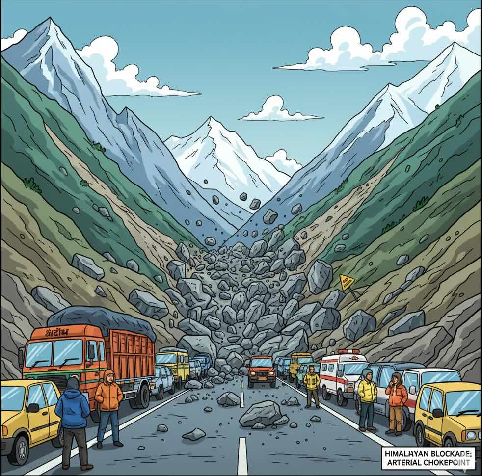
The Himalayan arc is navigating a period of “Compound Vulnerability,” where shifting tectonic stress intersects with a systemic collapse of seasonal snow reserves.
-
The Movement: A Magnitude 4.1 earthquake struck Tibet in the early hours of Friday, May 8, at 03:10 IST. The tremor, occurring at a depth of 38 km, reflects the ongoing crustal thickening and faulting caused by the convergence of the Indian and Eurasian plates.
-
The Status: “The Great Cryospheric Deficit.” Landmark reports from ICIMOD confirm that snow persistence across the Hindu Kush Himalaya (HKH) has plummeted to 27.8% below normal—the lowest in 24 years. This marks the fourth consecutive year of decline, signaling an impending water crisis for the nearly two billion people downstream.
-
Basin Variance: While the Ganges basin shows a localized positive anomaly of +16.3%, extreme deficits are reported in the Mekong (-59.5%), Tibetan Plateau (-47.4%), and Salween (-41.8%).
II. Global Echoes: The “Systemic Risk” Radar 🌏
Beyond the mountain range, today’s global profile highlights the emergence of “Interconnected Crises” where infrastructure and nature collide.
-
USA (Policy Overhaul): The FEMA Review Council today recommended a major overhaul of the country’s top disaster agency to address systemic inefficiencies.
-
Digital Fragility: A new joint report by ITU and UNDRR warns that our growing reliance on digital systems has created “hidden risks,” where solar storms or natural hazards could trigger a “digital pandemic“ by severing vital submarine cables or disrupting satellite navigation.
-
Middle East (Tech-Response): Airbus has partnered with GINA Software to integrate mission-critical modules into public safety networks, aiming to provide tactical location services for first responders in developing smart city frameworks.
III. The Laboratory: The “Bio-Structural” Anchor 🔬
The Topic: “SSTC & Digital Twins for Urban Resilience.”
-
The Innovation: Moving beyond traditional masonry, the latest UN-led forums are highlighting South-South and Triangular Cooperation (SSTC) as a vital tool for disaster risk reduction (DRR).
-
The Science: Geospatial Intelligence (GEOINT)—integrating GIS and satellite data—is now being used to address systemic urban risks and health emergency preparedness. This allows for the creation of “Digital Twins“ of vulnerable environments, enabling practitioners to model cascading impacts across interconnected systems.
-
The Impact: The focus is shifting toward the use of Science, Technology, and Innovation (STI) to move from reactive disaster response to proactive, data-driven preparedness.
IV. The Time Machine ⏳
Historical Evidence: 08 May
-
2026 – World Press Freedom Day (Reflection): Today marks the follow-up to discussions held on May 3, where diplomats in South Sudan emphasized that a free and independent media is a prerequisite for resilient societies and effective disaster communication.
-
1902 – The Eruption of Mount Pelée: Exactly 124 years ago today, the eruption of Mount Pelée destroyed the town of Saint-Pierre.
-
The Lesson: It warns us about “Warning Fatigue.” Residents ignored several warning signs before the catastrophic pyroclastic flow. In the Himalayas, ignoring micro-seismicity or subtle changes in river turbidity is a risk we cannot afford.
-
V. The Daily Ordinance: The “Aerosol-Albedo” Inspection 📜
Your 60-second safety hack for the May 8 Thermal Spike.
-
The Hack: The “Horizontal Visibility“ Check.
-
The Observation: Look toward the high peaks in the afternoon. Is there a dense, brownish-yellow haze obscuring the view?
-
The Danger: This is Black Carbon and dust. When these aerosols settle on the high snowpack, they absorb solar heat, drastically lowering the Albedo (reflectivity) of the ice and accelerating melt.
-
-
The Action: If the haze persists, prepare for “Clear-Sky Surges” in local streams. The melt rate can spike even without rain when snow is “dirty.” Secure any river-side equipment immediately.
The devastating M 4.1 quake in Tibet today and the 24-year record low in snow persistence warn us that we are navigating a period of unprecedented environmental surcharge.
These past events tell us that ‘Safety Amnesia‘ and ‘Digital Dependency’ are the new frontiers of vulnerability.
Our ongoing initiatives in ‘Digital Twin Modeling‘ and ‘Geospatial Intelligence‘ prove we are identifying the fissures, but history warns us that if we do not respect the ‘Aerosol Loading’ of our peaks and the ‘Information Deserts’ of our valleys today, the unseasonal surges of a warming Third Pole will claim our future tomorrow.
Today tells us the haze is thick; it warns us that the ice is un-anchoring.
Leave a Reply