Edition: 13 Jan 2026 | 2100 hrs IST

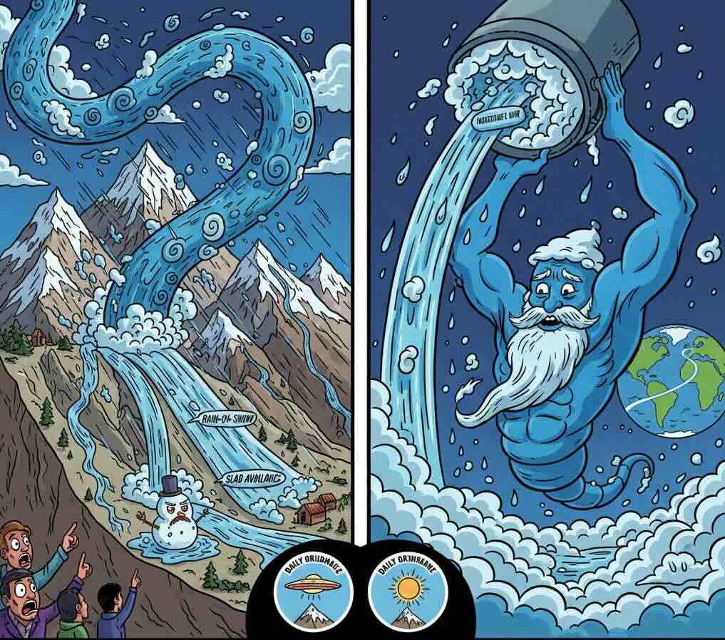 The Himalayas are currently facing a meteorological phenomenon that was once rare for this altitude but is now becoming a seasonal staple. We are moving from the “Static Freeze” of mid-winter into a “Moisture Incursion Phase” driven by what scientists call an Atmospheric River (AR).
What is an Atmospheric River? (The Simple Science)
Imagine a narrow, invisible highway in the sky, thousands of kilometers long and hundreds of kilometers wide. Instead of cars, this highway carries a massive amount of water vapour—often equivalent to the flow of the mouth of the Mississippi, Ganga or Amazon river.
When these “rivers in the sky” are pushed by strong winds, they move across oceans and plains. They stay invisible until they hit a barrier. In our case, that barrier is the greatest wall on Earth: the Himalayas.
The Himalayan Impact: The “Wall” Effect
When an Atmospheric River slams into the Himalayan arc, it undergoes “Orographic Lifting.” The mountains force that warm, moisture-laden air to rise rapidly. As it rises, it cools, and the invisible vapour turns into “Liquid Chaos.”
The Rain-on-Snow Menace
In 2026, we are seeing these rivers stay “warm” longer. Instead of falling as snow, they bring heavy rain to high-altitude glaciers. This rain melts the surface snow instantly, leading to massive, sudden runoff.
The Thermal Shock
The sudden warmth accompanying an AR destabilises the “permafrost grip” that holds rocky slopes together.
Avalanche Triggers
For the higher peaks, the AR acts like a fire hose of snow. It can deposit 2–3 meters of heavy, wet snow in a single day, far exceeding the “load-bearing” capacity of older, crystalline snow layers.
The Implications: A Shift in Disaster Profiles
The primary danger of Atmospheric Rivers in the Himalayas is Unpredictability.
Flash Floods in Winter
We are seeing “Summer-style” flash floods in January. This catches downstream communities completely off-guard as their flood-defense mindsets are currently “hibernating.”
Infrastructure Erosion
Roads and bridges designed for snow-melt cycles are being scoured by high-velocity liquid water, leading to the “scouring” of foundations.
Cascading Failures
A landslide triggered by an AR can block a river, creating a temporary dam that later bursts (GLOF or LLOF), impacting villages 50 kilometers away.
Mitigation: Short and Long Term
Short-Term (Immediate Action)
- The 48-Hour Early Warning: Using satellite-based “Integrated Water Vapor” (IWV) tracking to alert high-altitude districts 48 hours before the AR makes landfall.
- Zonal Evacuation: Identifying “Choke Points” in river valleys and moving machinery and people to higher ground before the “Sky River” opens its gates.
- Emptying Reservoirs: Controlled release of water from hydroelectric dams to create “buffer capacity” for the incoming surge.
Long-Term (Strategic Resilience)
- Climate-Resilient Engineering: Moving away from “Fixed-Design” bridges to “Flexible-Span” or high-clearance structures that account for 1-in-100-year flood levels happening every decade.
- Reforestation as a Sponge: Planting deep-rooted Himalayan species (like the Himalayan Cedar and Oak) to act as biological “anchors” for the soil, increasing the mountain’s ability to absorb sudden moisture.
- Cross-Border Data Sharing: Since Atmospheric Rivers are global travelers, we need a “Trans-Himalayan Data Hub” to track moisture plumes as they move from the Arabian Sea across Pakistan and North India.
The Daily Ordinance: The “Cloud-Shadow” Check
Your 60-second safety hack. How do you know an Atmospheric River is coming before the news tells you?
Look for Lenticular Clouds (clouds that look like flying saucers or stacked pancakes) hovering over the peaks. Also, watch for a “Halo“ around the sun or moon. These are caused by ice crystals in the high-altitude moisture plume that precedes the “Sky River.” If you see these, and the wind begins to feel “uncomfortably warm” for winter, the moisture is 12–24 hours away. #SkyRiverAlert #HimalayanSentinel
The sudden floods of the past and the shifting moisture plumes of today warn us that the ‘standard’ winter is a relic of history. Our ongoing initiatives prove we can see the ‘Sky River‘ coming, but history tells us that a warning without a change in land-use is just a countdown to catastrophe. Today tells us the sky is heavy and the mountains are brittle; if we do not move from reactive relief to the strategic reforestation of our sponges and the hardening of our infrastructure, we are not just living on the edge—we are building on a dissolving foundation.
Leave a Reply